 CAPVM - Opendata
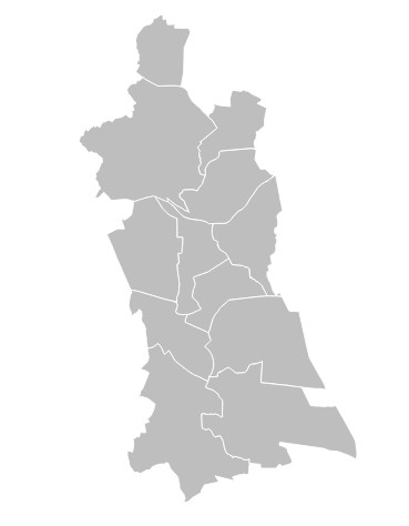
Contours des communes
Contours géographique des 12 communes de la CAPVM issus de la DGFIP du cadastre 2024.
Simple
- Date (Creation)
- 2025-02-18
- Identifier
- cc517a7c-29bb-4d1f-9475-86d731c9d236
-
GEMET - INSPIRE themes, version 1.0
-
-
Territoire de compétence
-
- Theme
-
-
commune
-
limites-administratives
-
- Access constraints
- Other restrictions
- Spatial representation type
- Vector
- Metadata language
- Français
- Topic category
-
- limites-administratives-et-referentiels
- OnLine resource
-
contours-des-communes
(
OGC:WMS
)
None
- OnLine resource
-
contours-des-communes
(
OGC:WFS
)
None
- Hierarchy level
- Dataset
- File identifier
- cc517a7c-29bb-4d1f-9475-86d731c9d236 XML
- Metadata language
- Français
- Hierarchy level
- Dataset
- Date stamp
- 2025-02-18
- Metadata standard name
-
INSPIRE Metadata Implementing Rules
- Metadata standard version
-
Technical Guidelines based on EN ISO 19115 and EN ISO 19119 (Version 1.2)